
- Home
- Rural Development
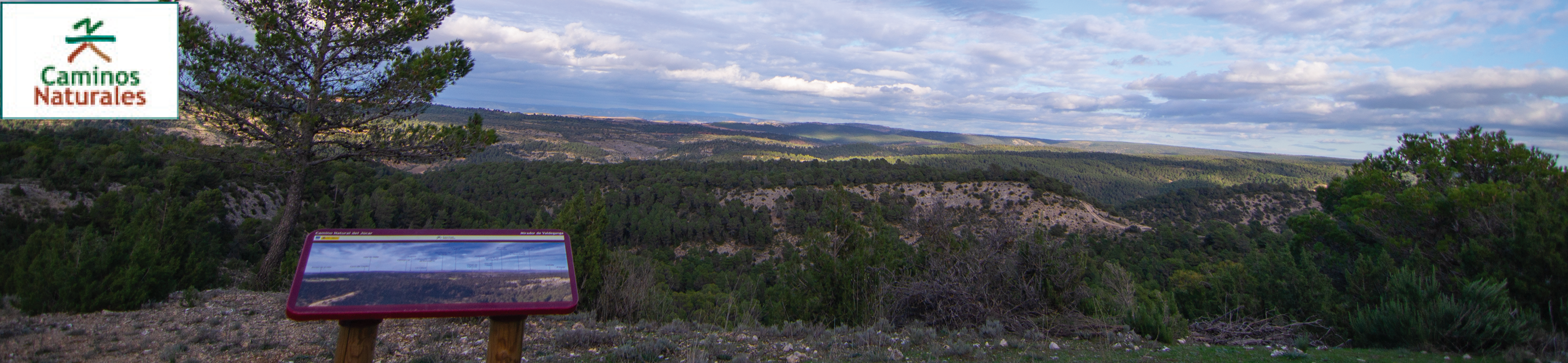
- Nature Trails
- Nature Trails
- Central Sector
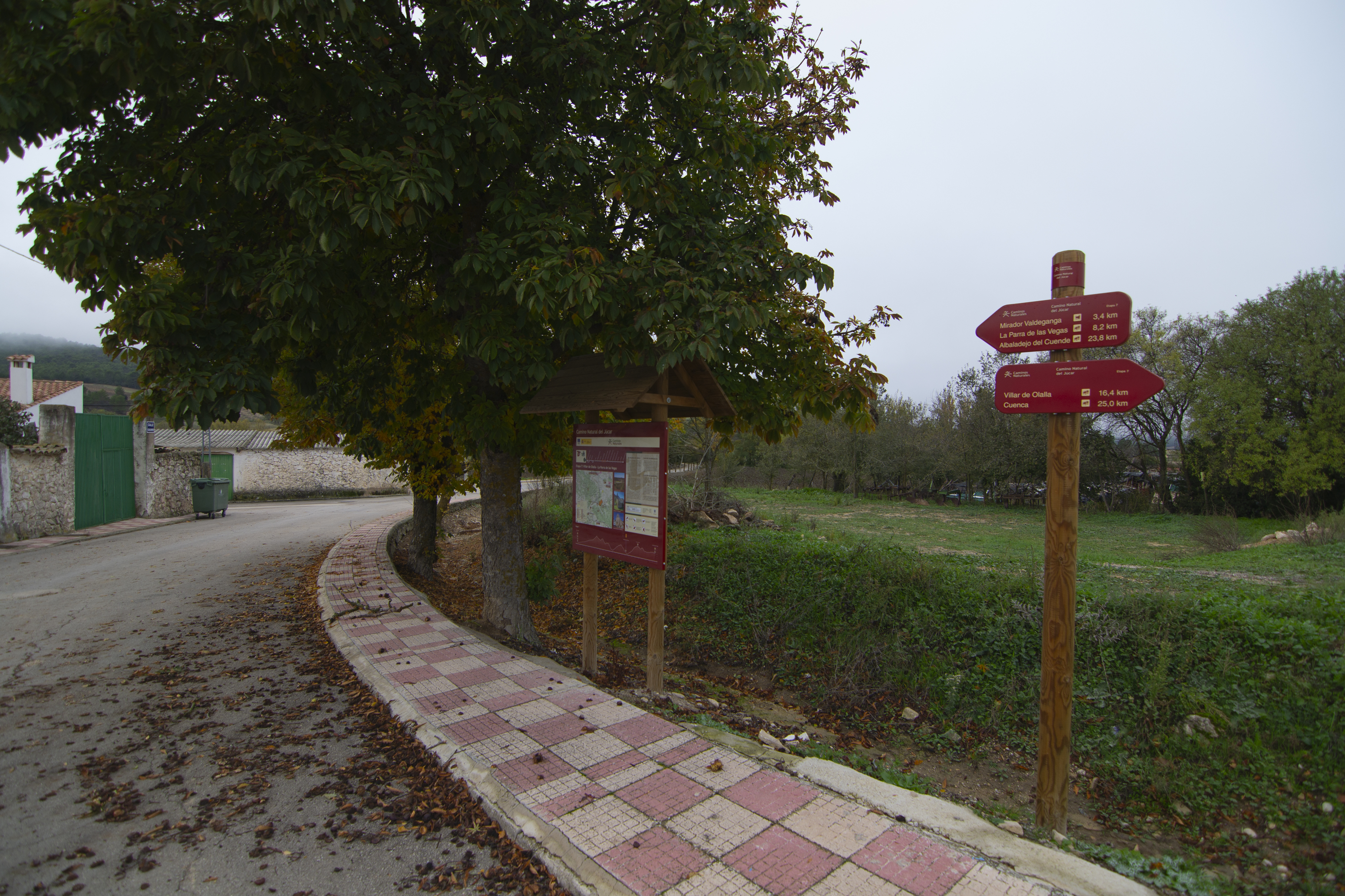
Stage 7: Villar de Olalla - La Parra de las Vegas
Description
The trail leaves the river Júcar to continue between wooded mountains and cultivated valleys.
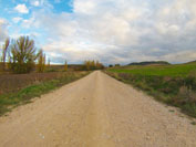
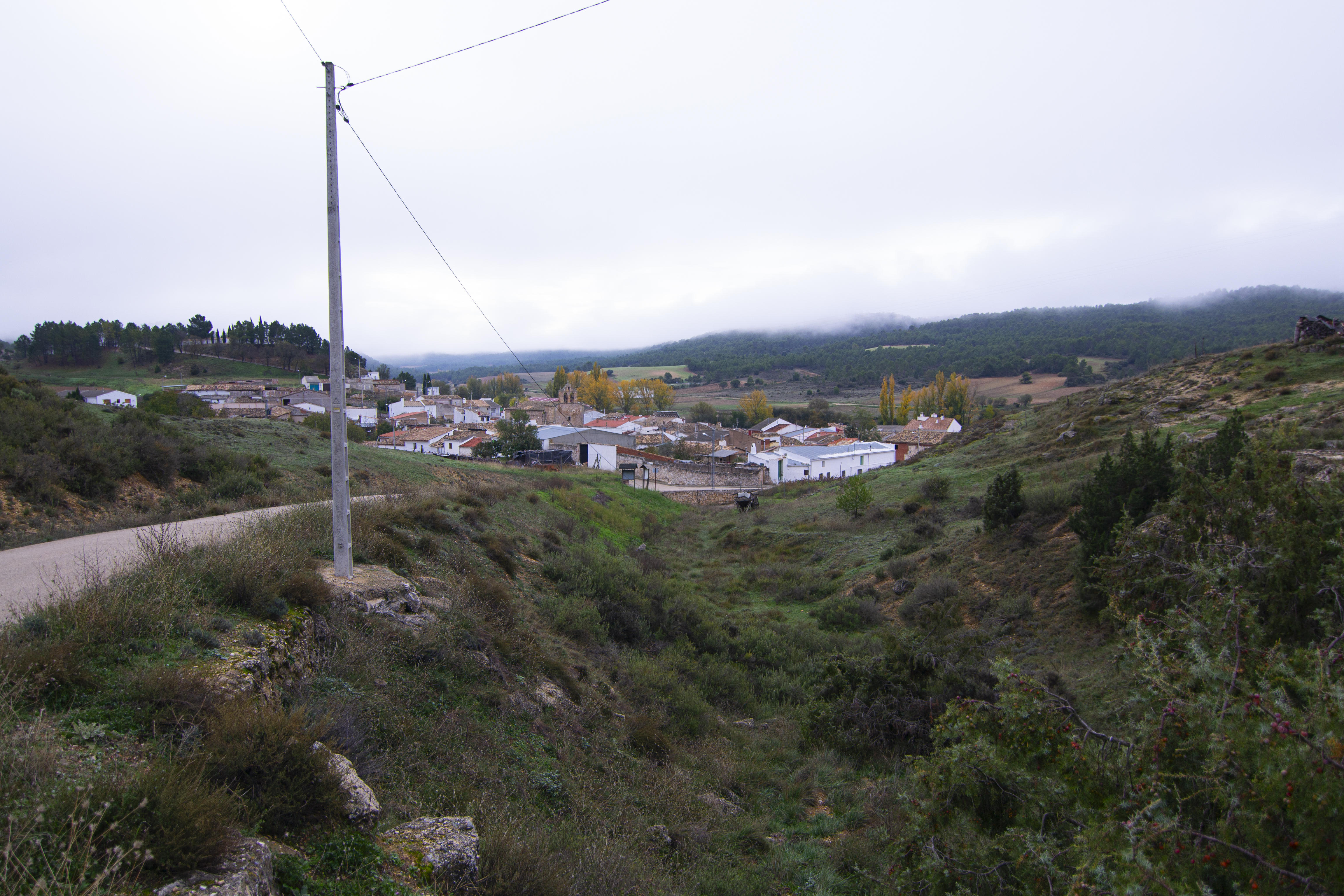
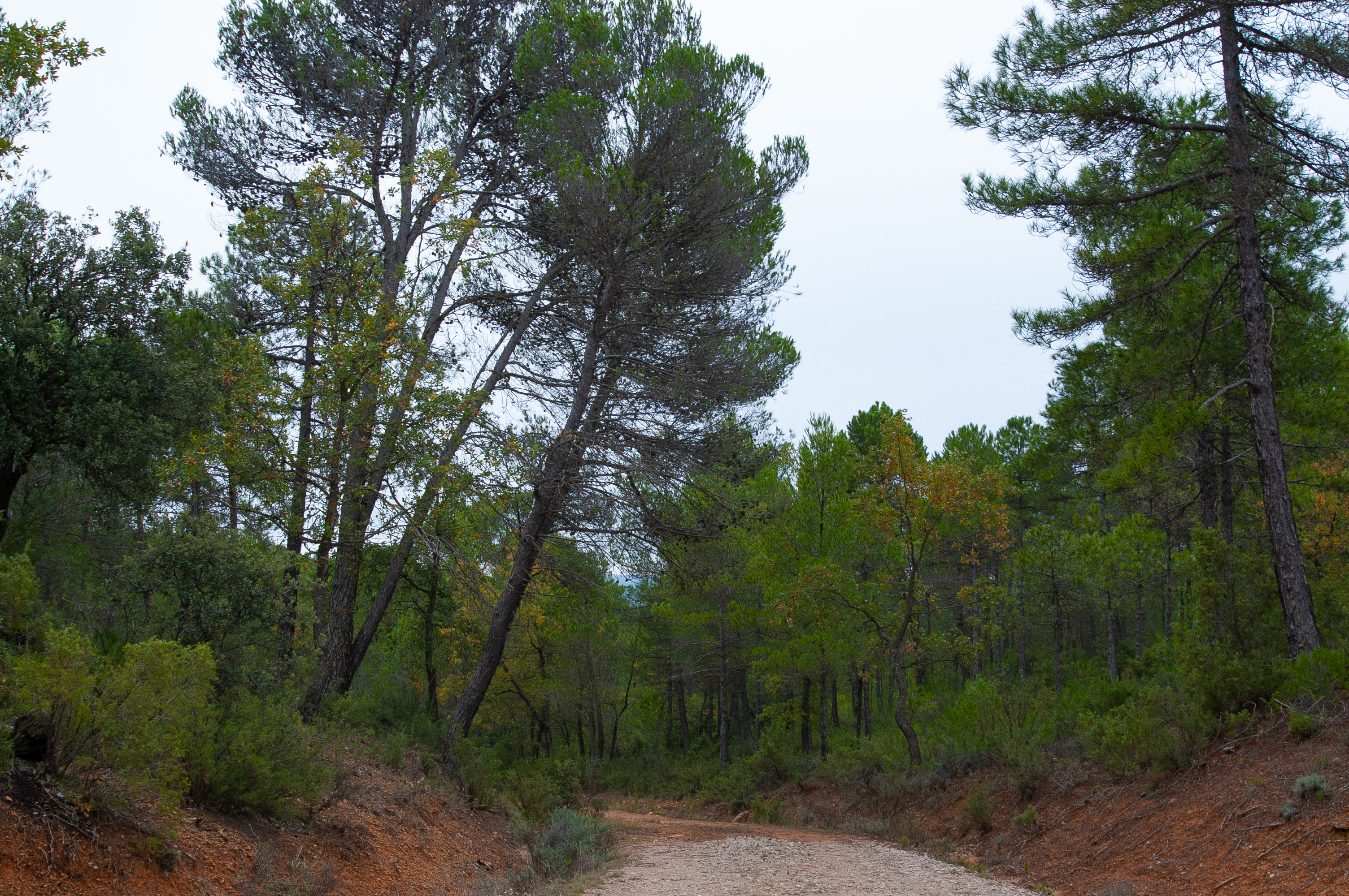
The second longest stage of the Júcar Nature Trail moves completely away from the river and enters a landscape that alternates between the cultivated meadows of the watercourses where the towns of Villar de Olalla, Valdeganga de Cuenca and La Parra de las Vegas are located and hills covered with mixed Mediterranean forest.
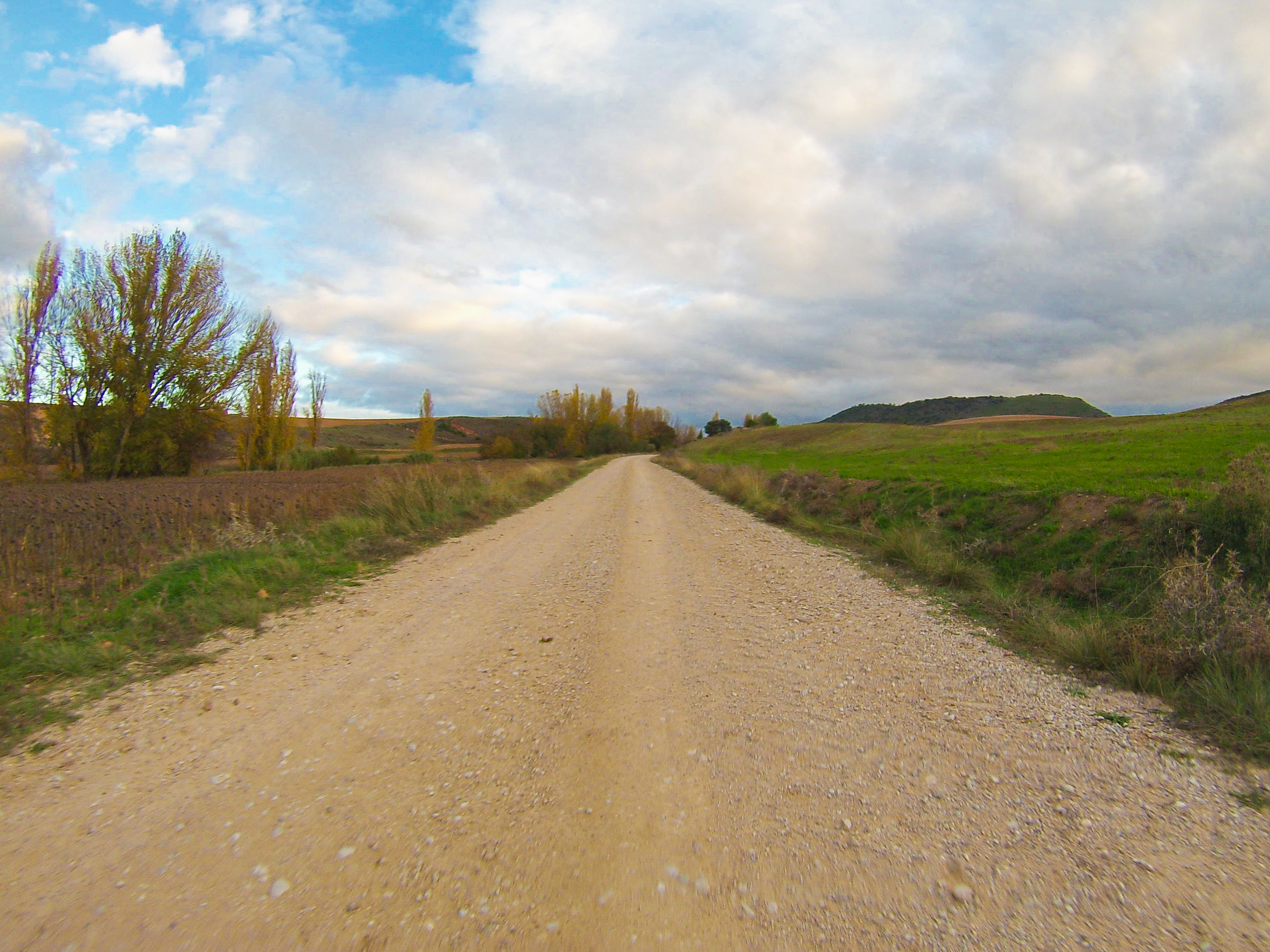
This stage starts in Villar de Olalla, next to the N-420 road, and heads south, soon reaching a bridge over the river Marín. This watercourse, together with its numerous tributary streams, is responsible for the fertile plain where the crops of Villar de Olalla grow.
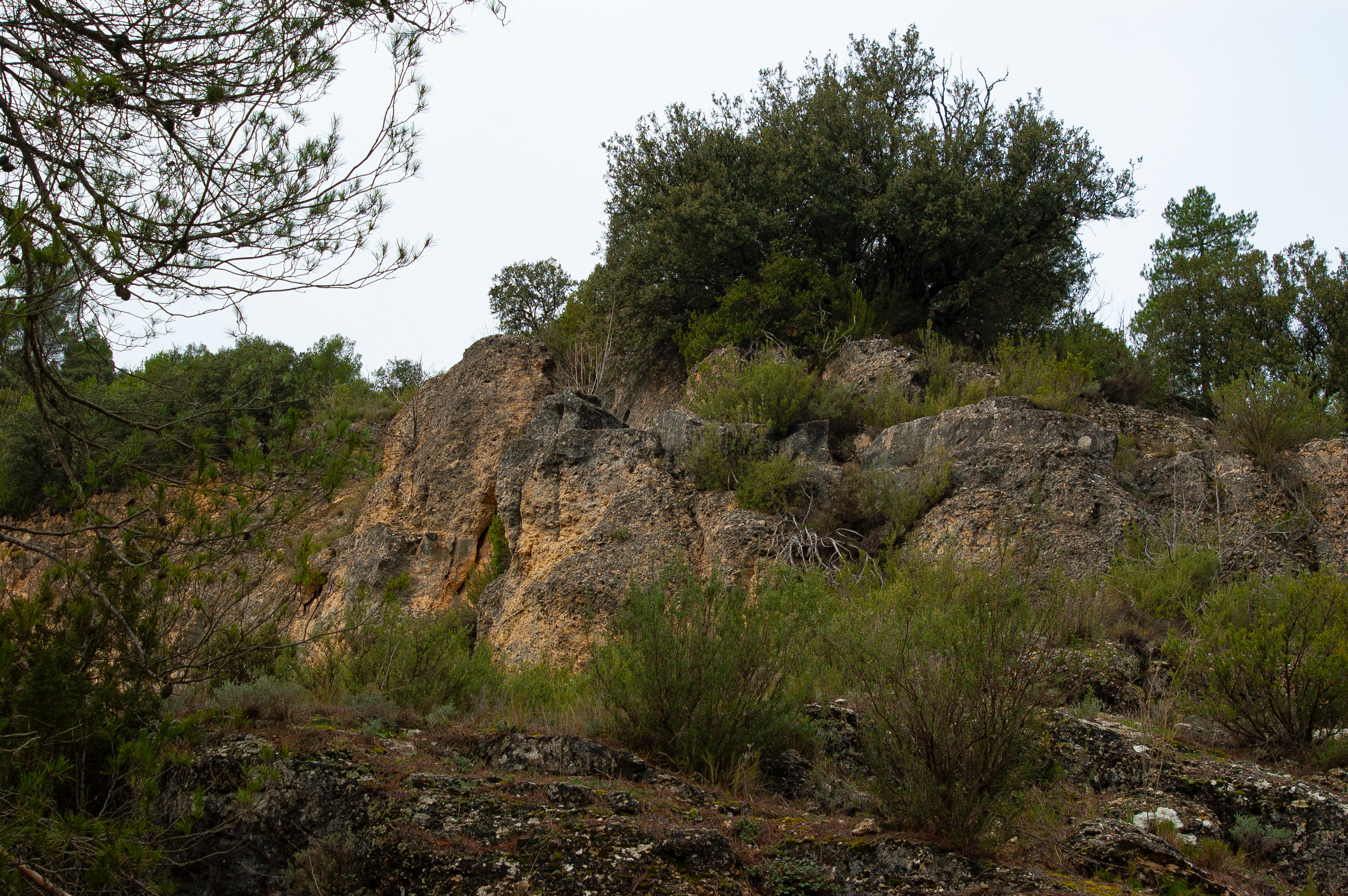
Just before crossing the bridge there is a signpost that leads to the Arcas lagoon complex, 5 km away, a set of lagoons formed by more than 35 dolines or uvalas developed on gypsum, which makes them unique in both Spain and Europe.
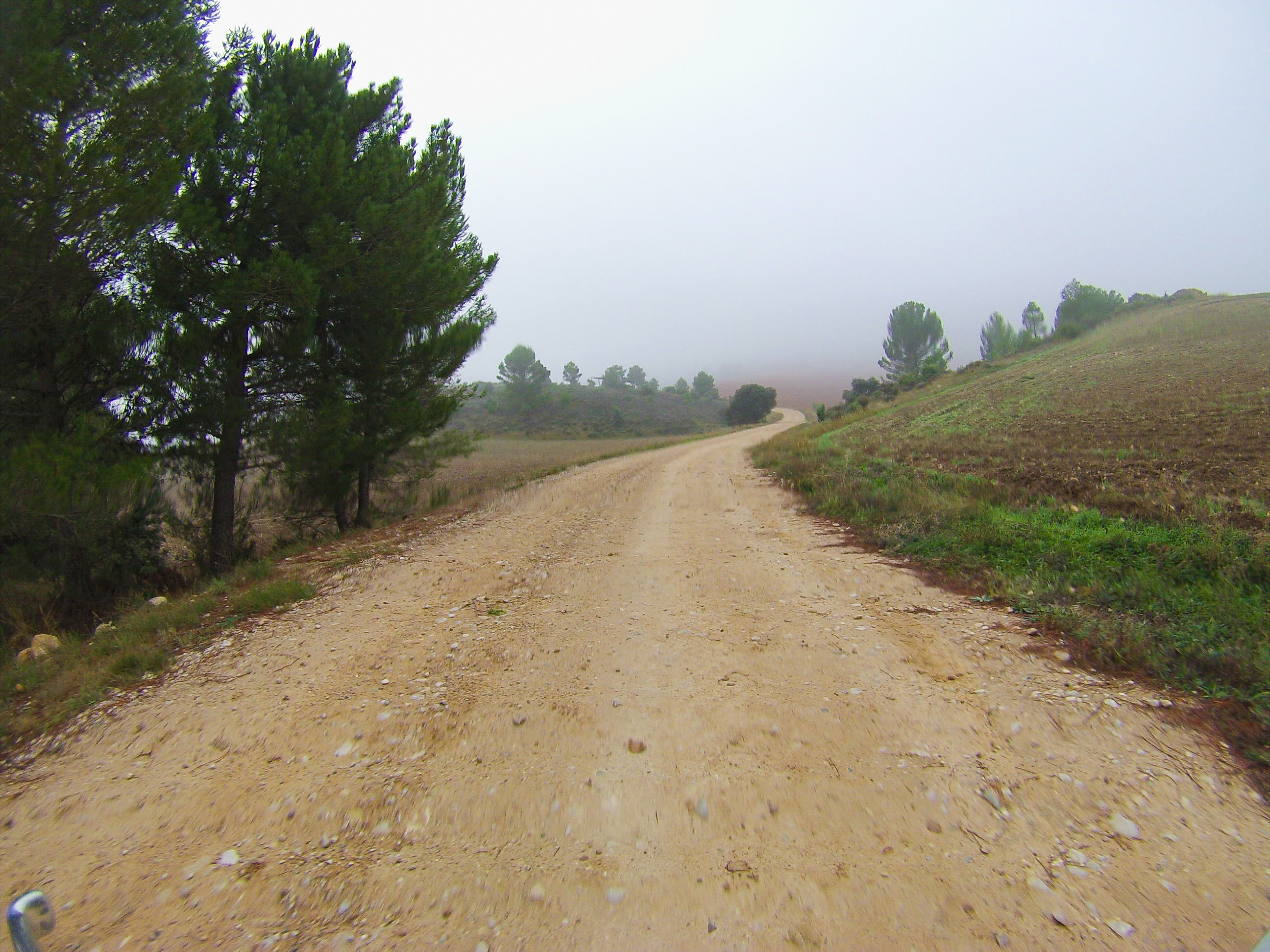
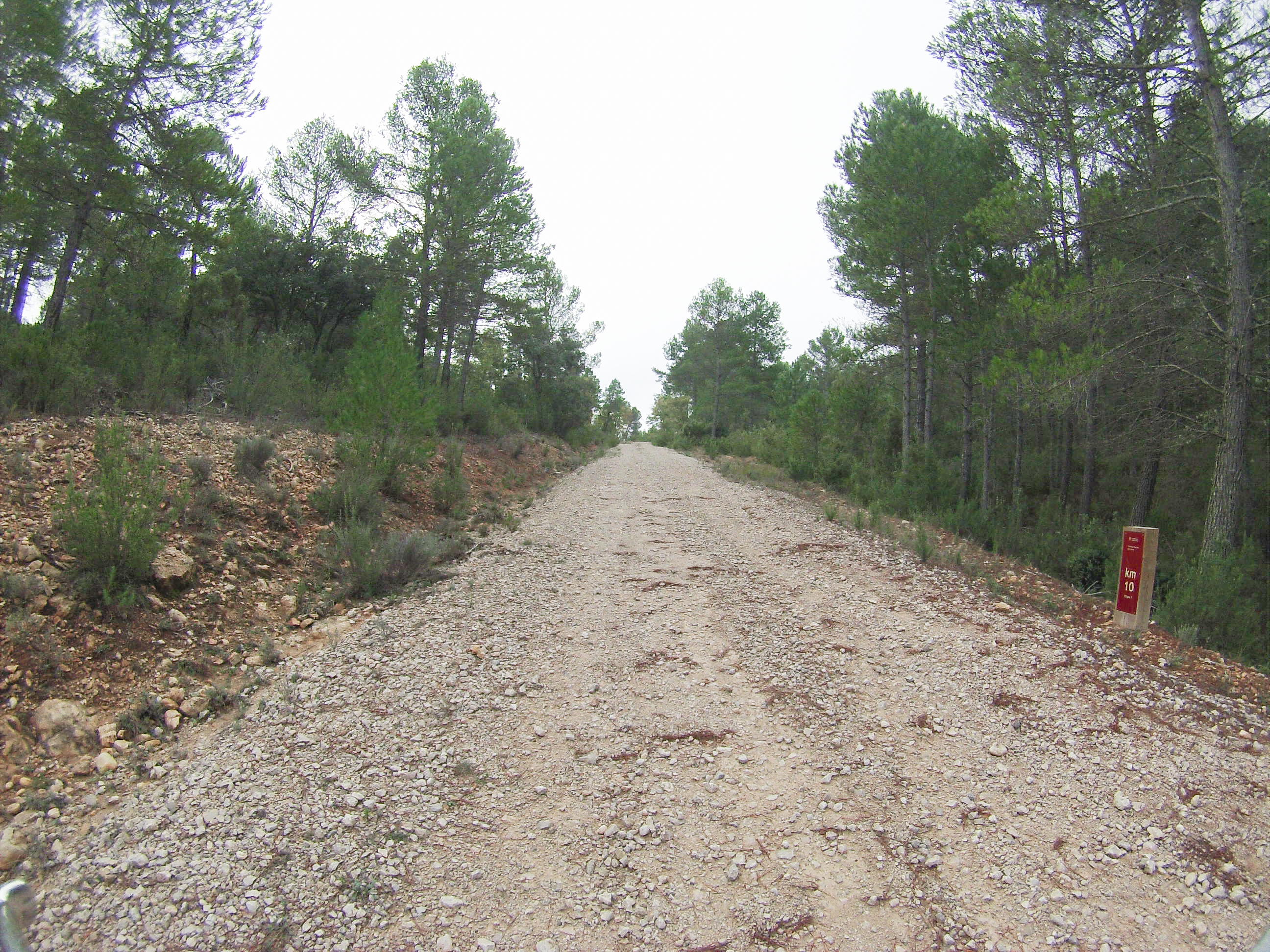
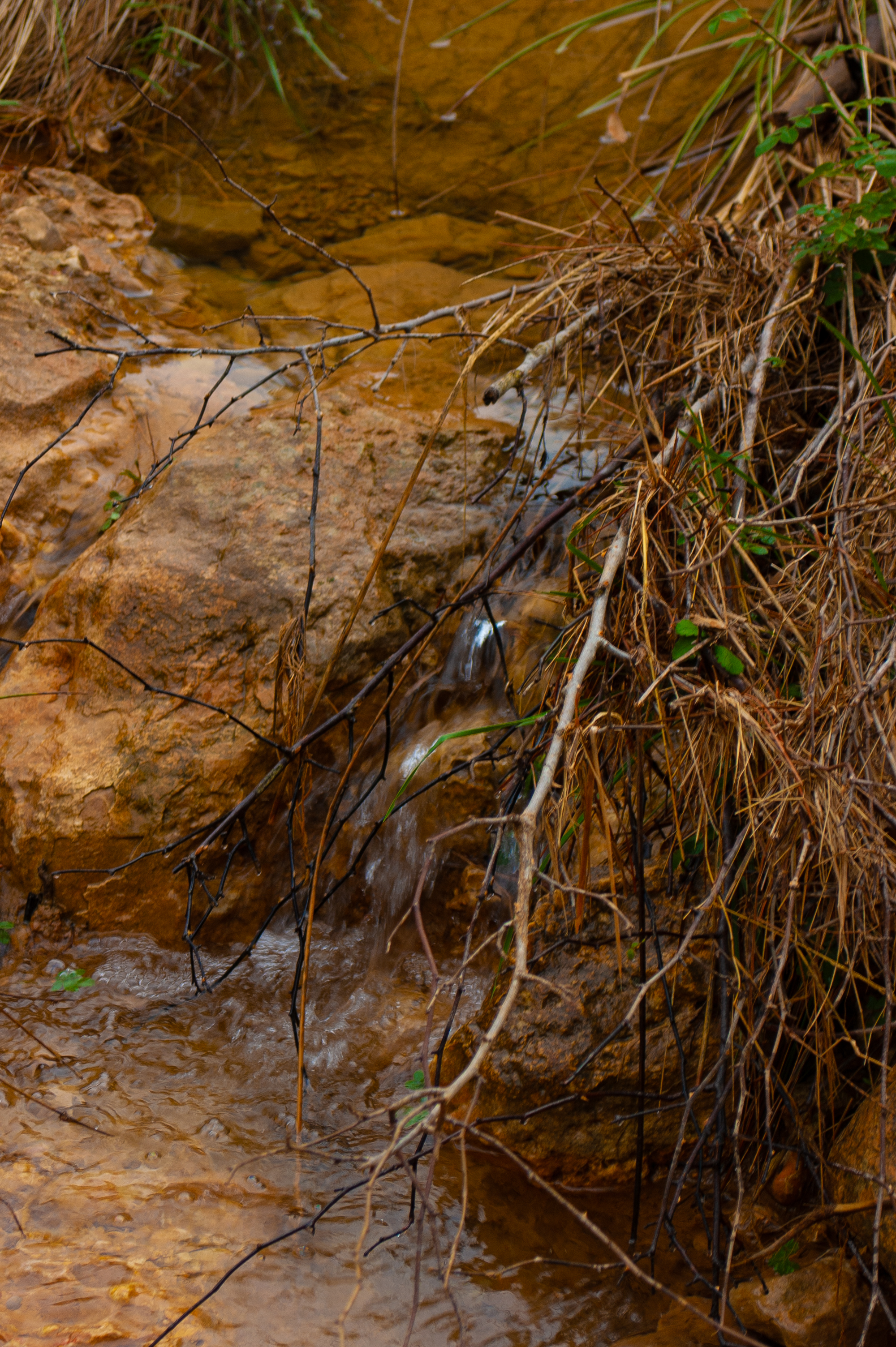
The route continues southwards, gently but steadily uphill, along a wide track with a firm surface amidst a landscape of crops and accompanied by the Hocino stream at first and then by one of its tributaries.
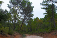
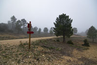
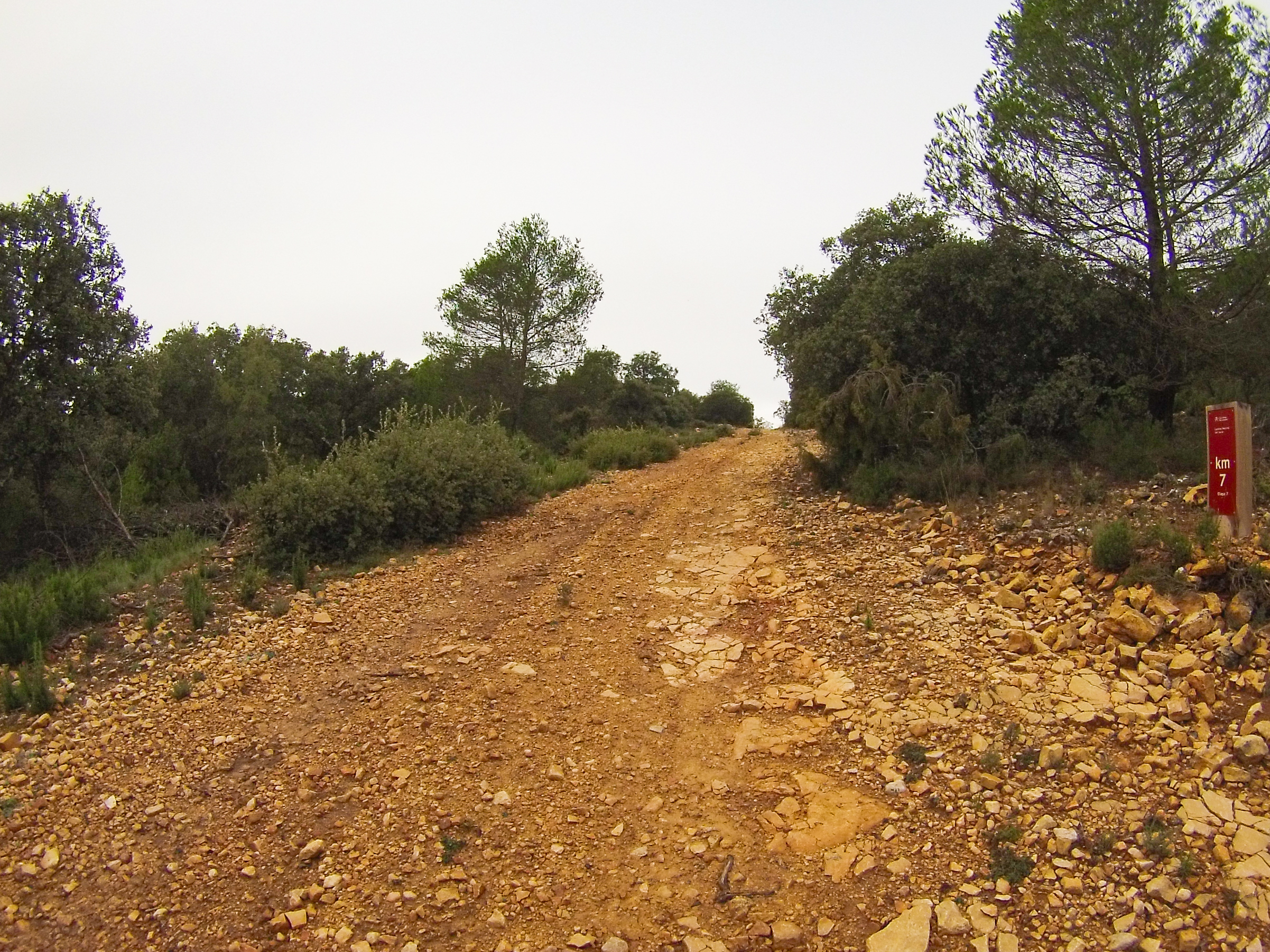
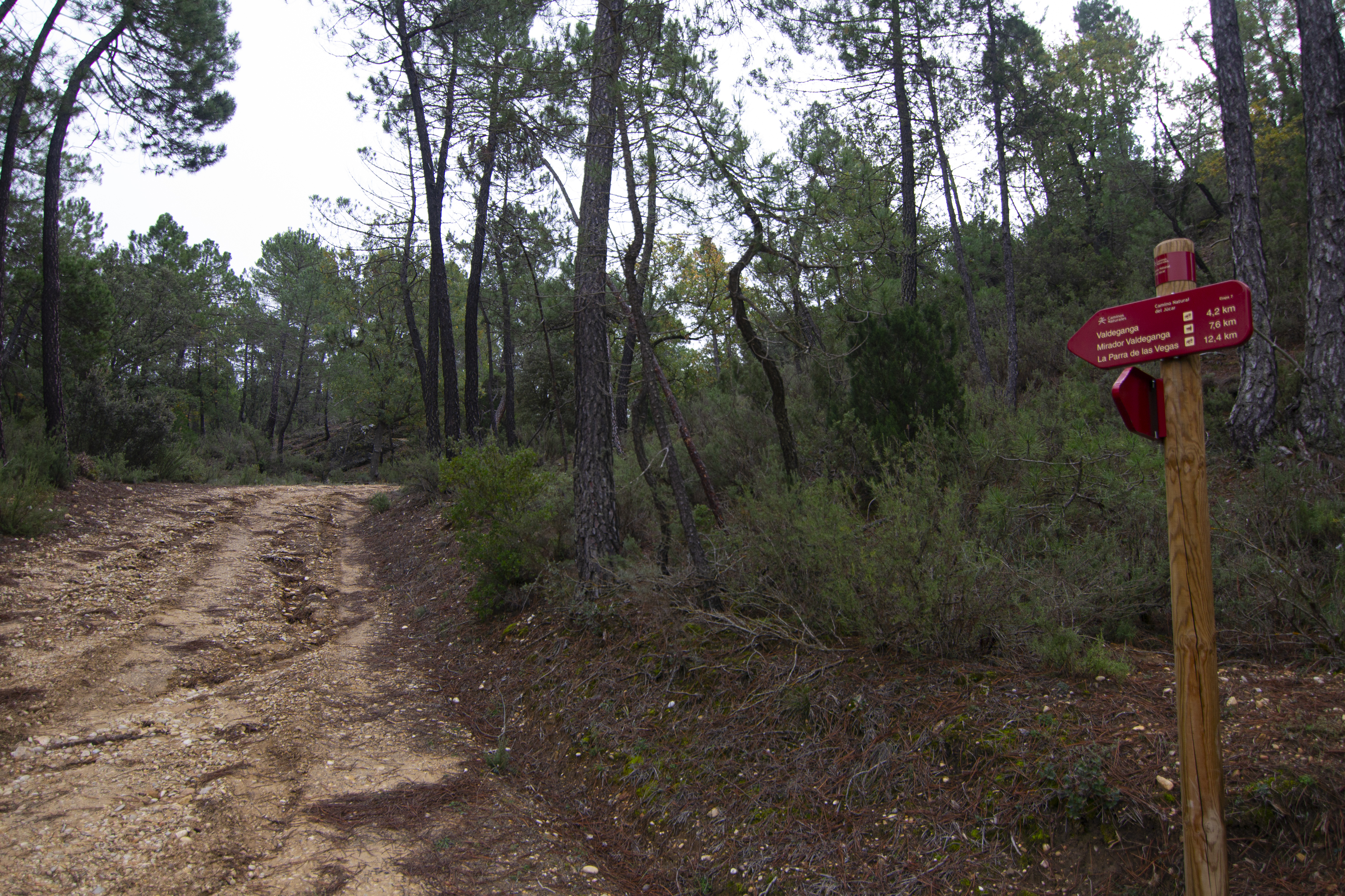
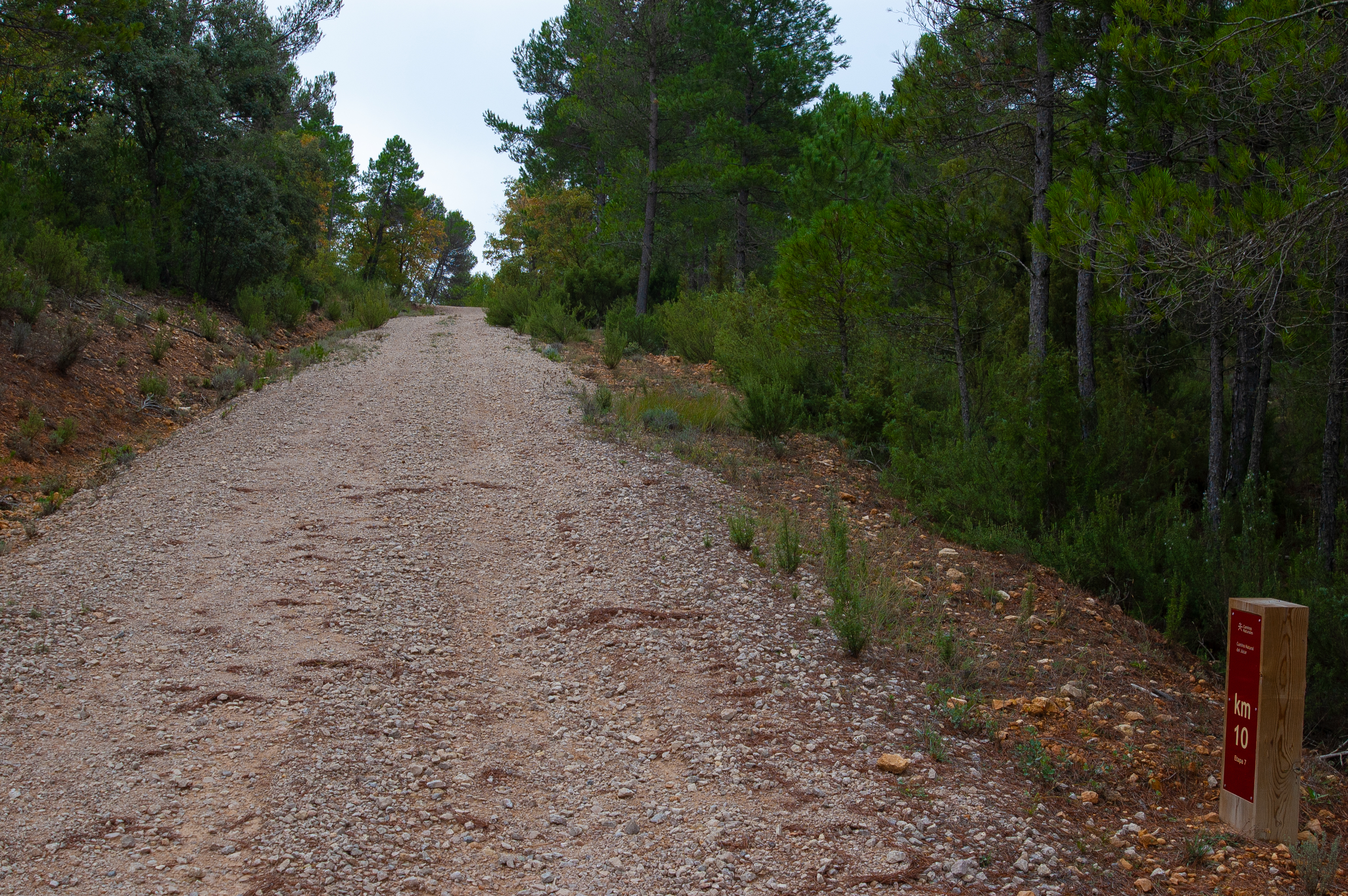
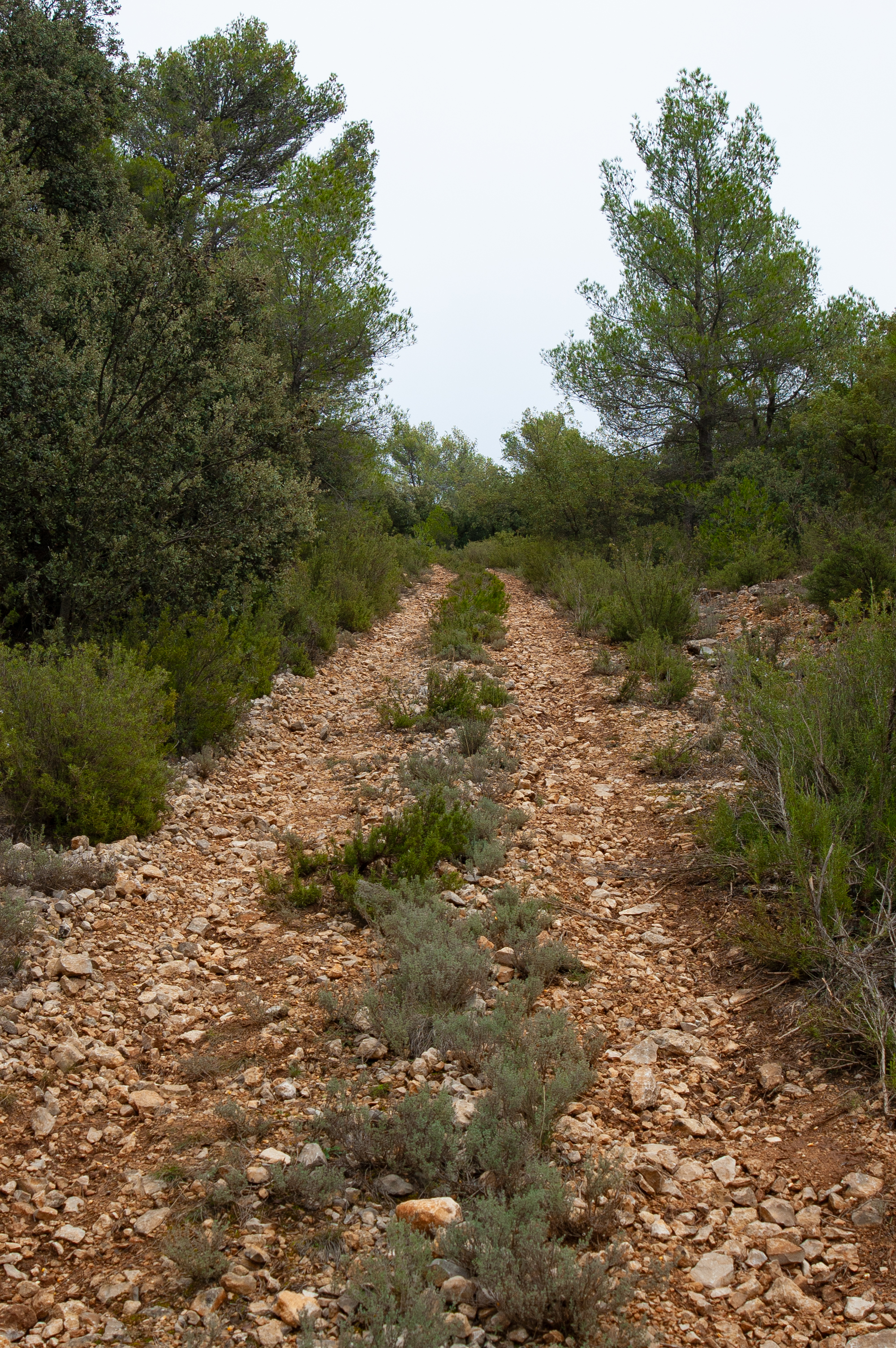
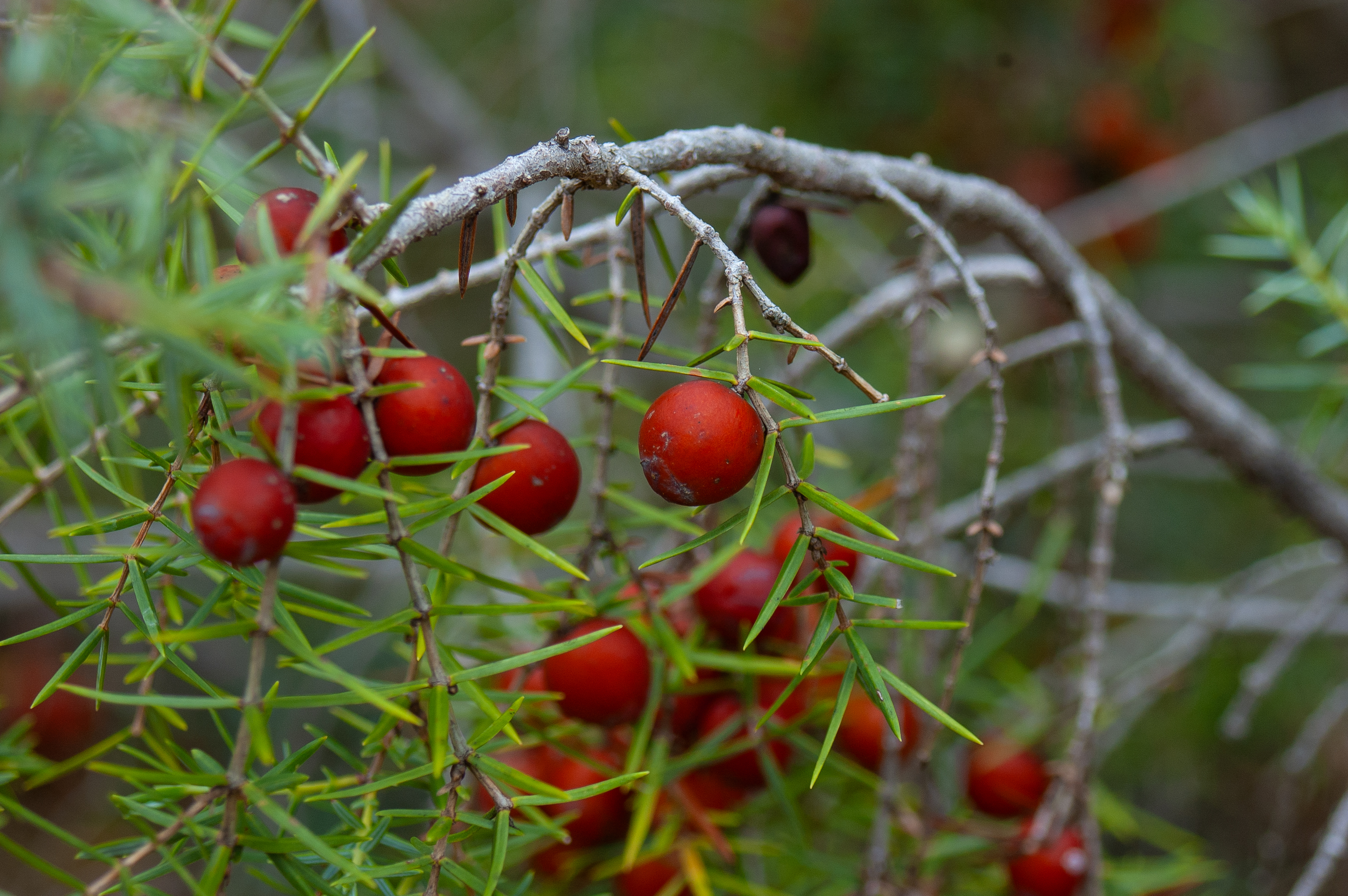
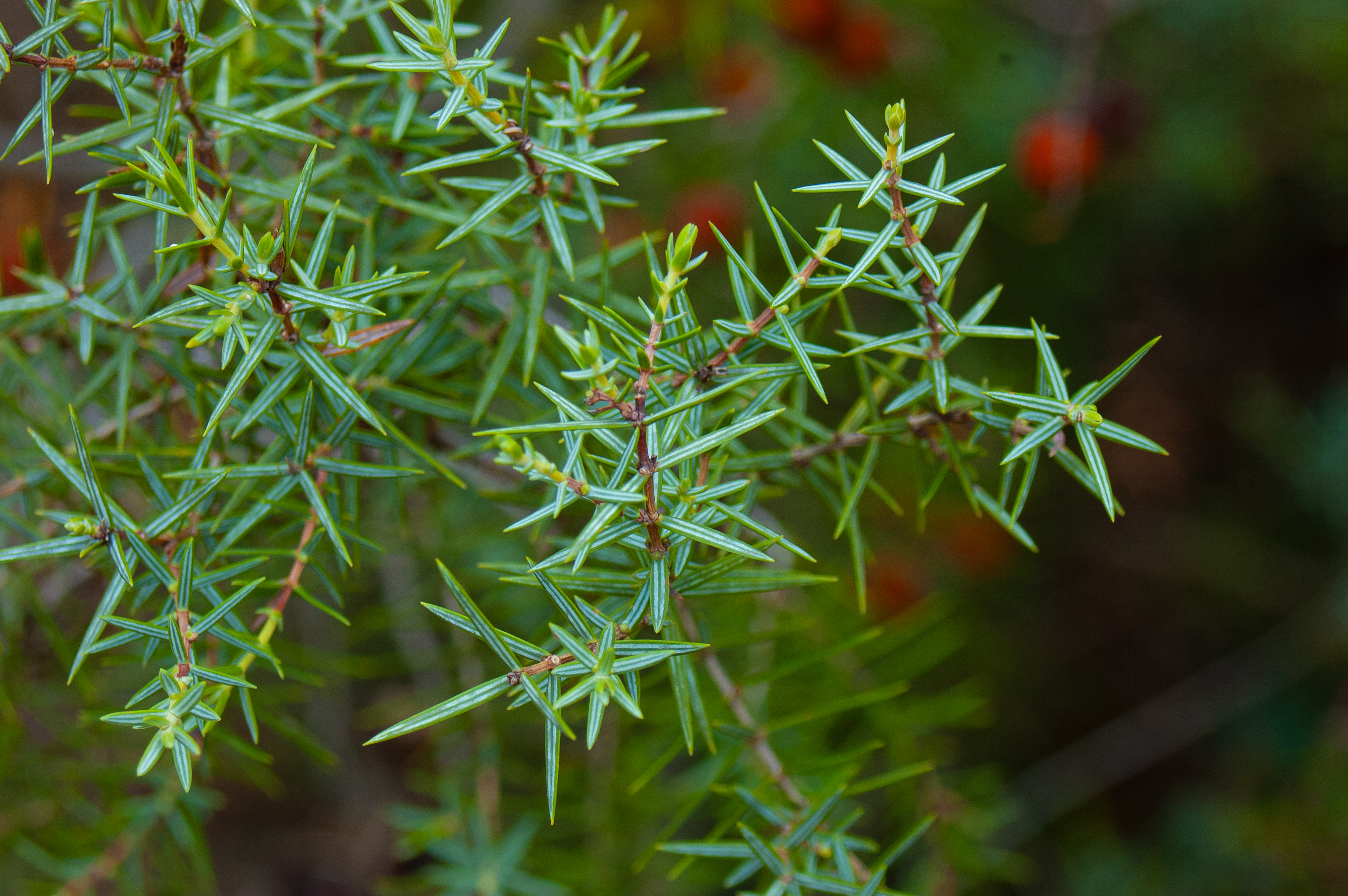
After some 5 km through this area, passing by an agricultural warehouse, the route continues along a path that starts on the right. This path, narrower and with a more uneven surface, enters a mixed forest composed mainly of pines, accompanied by holm oaks, kermes oaks, junipers and herbs like rosemary and thyme.
1.2 km further on, the ascent that began in Villar de Olalla ends, and the route begins the descend towards the bed of the Fuente Grande stream along an uneven, narrow track surface except for a short stretch of barely 700 m where we return to a wide, well-surfaced path. Although this section is generally downhill, the route alternates with some climbs to cross other streams.
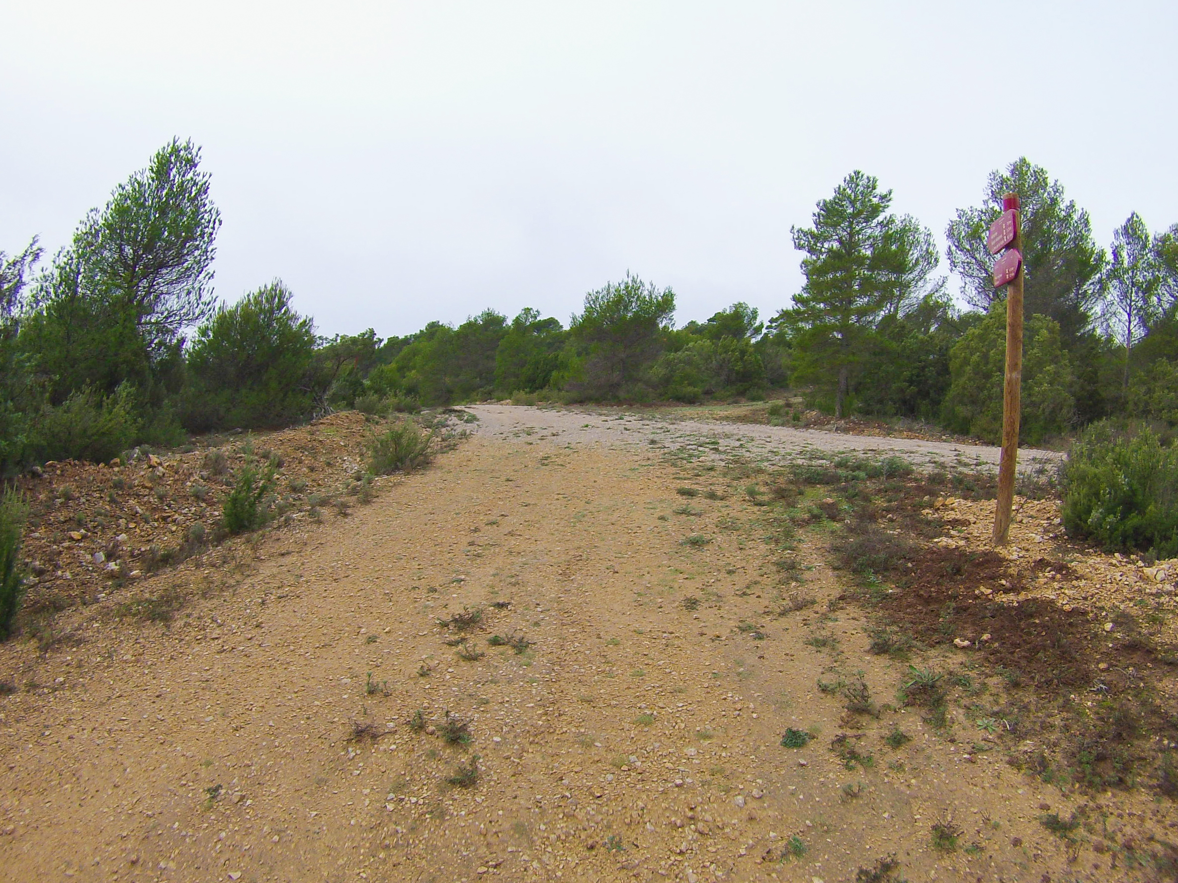
Walk about 600 m along the bottom of the valley through a flatter area that has been ploughed for crops, and then turn off onto a path on the left that goes back into the forest. Here begins a demanding climb as far as a wide forest track that connects Valdeganga de Cuenca with Olmedilla de Arcas and the Arcas Lagoon Complex, coinciding with the PR-CU 61 trail.
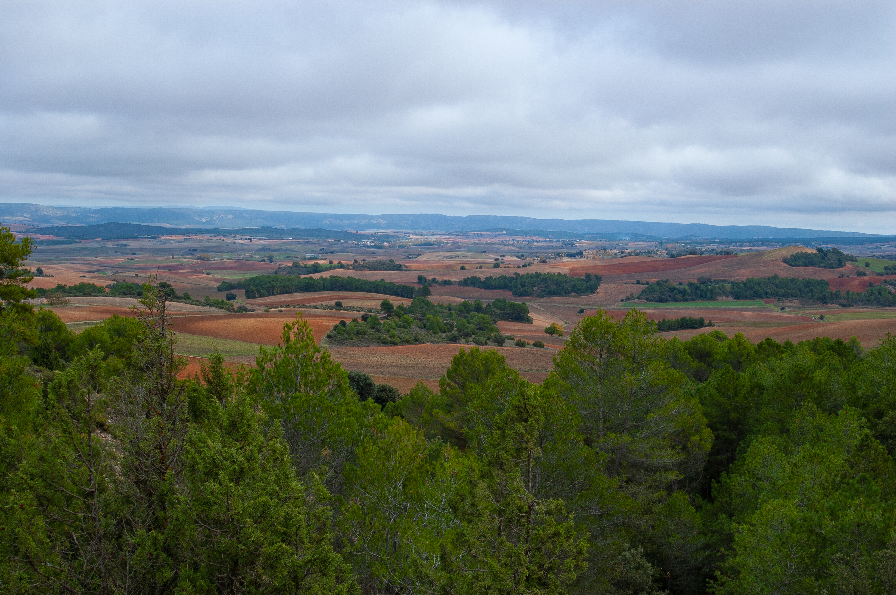
Take the track to the right, towards Valdeganga, which we reach after 1.7 km of descent, at times rather steep. Just before reaching the top of the descent to Valdeganga, a wide bend offers a good view of the valley of the Vega stream, a much narrower valley than that of Villar de Olalla, but also extensively cultivated.

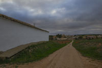
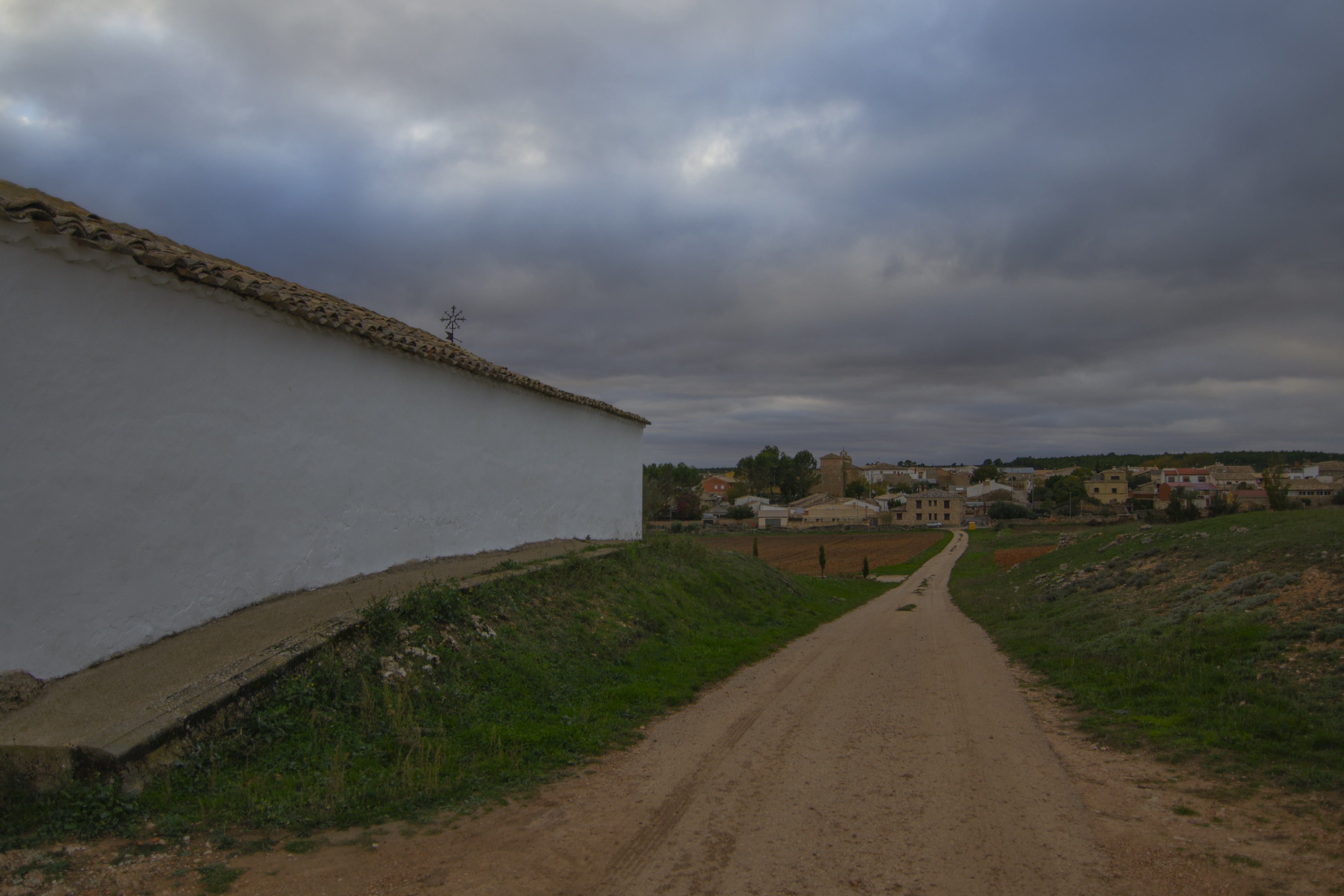
The route barely enter the town, the capital of the municipality of Valdetórtola, passing only along its westernmost street before crossing the CUV-7122 road and leaving the town.
Then, along a curious tree-lined walkway with millstones, we come to a bridge over the Vega stream. Although at this point the stream is in a wide fertile plain, upstream it is embedded in a beautiful spot called the Tórtola gorge.
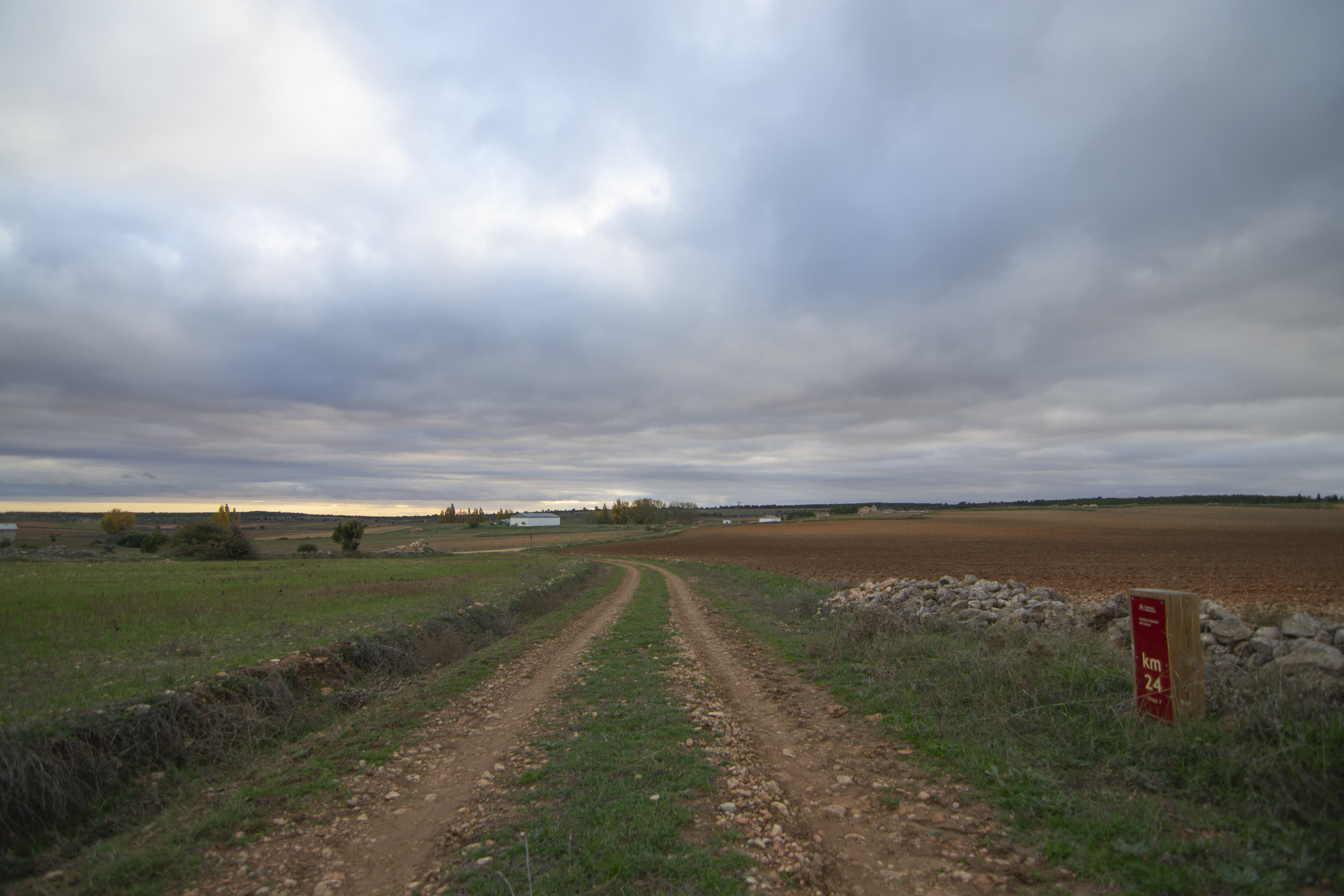
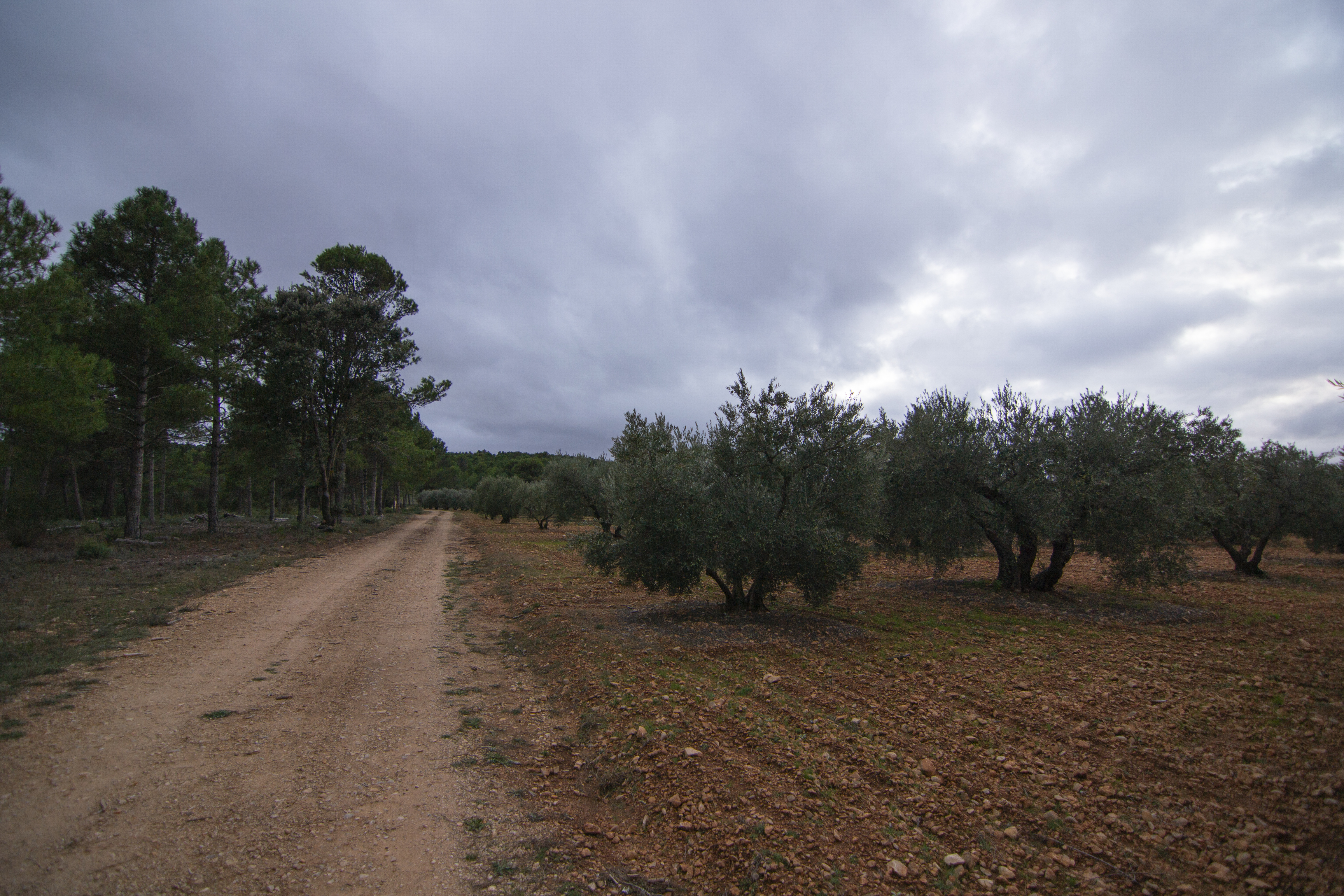
Having crossed the stream, the path runs for 1 km through the crops of Valdetórtola, alternating herbaceous crops and cereals with fruit and olive groves. Right next to an olive grove, the route turns off onto a track on the left. This track has a more uneven surface than the previous one, although it maintains the same width.
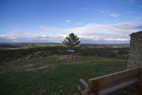
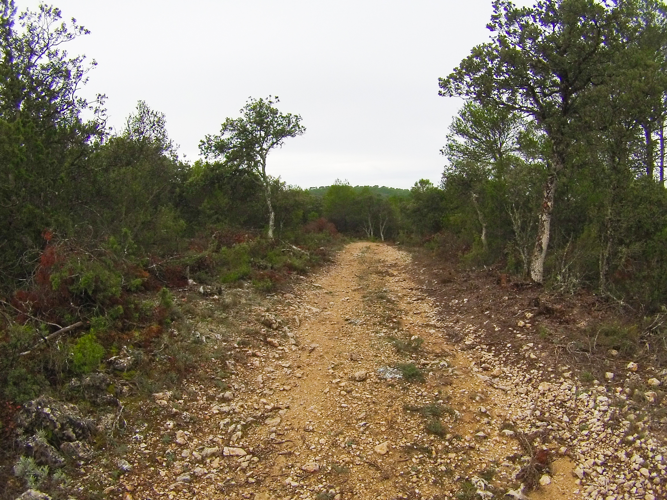
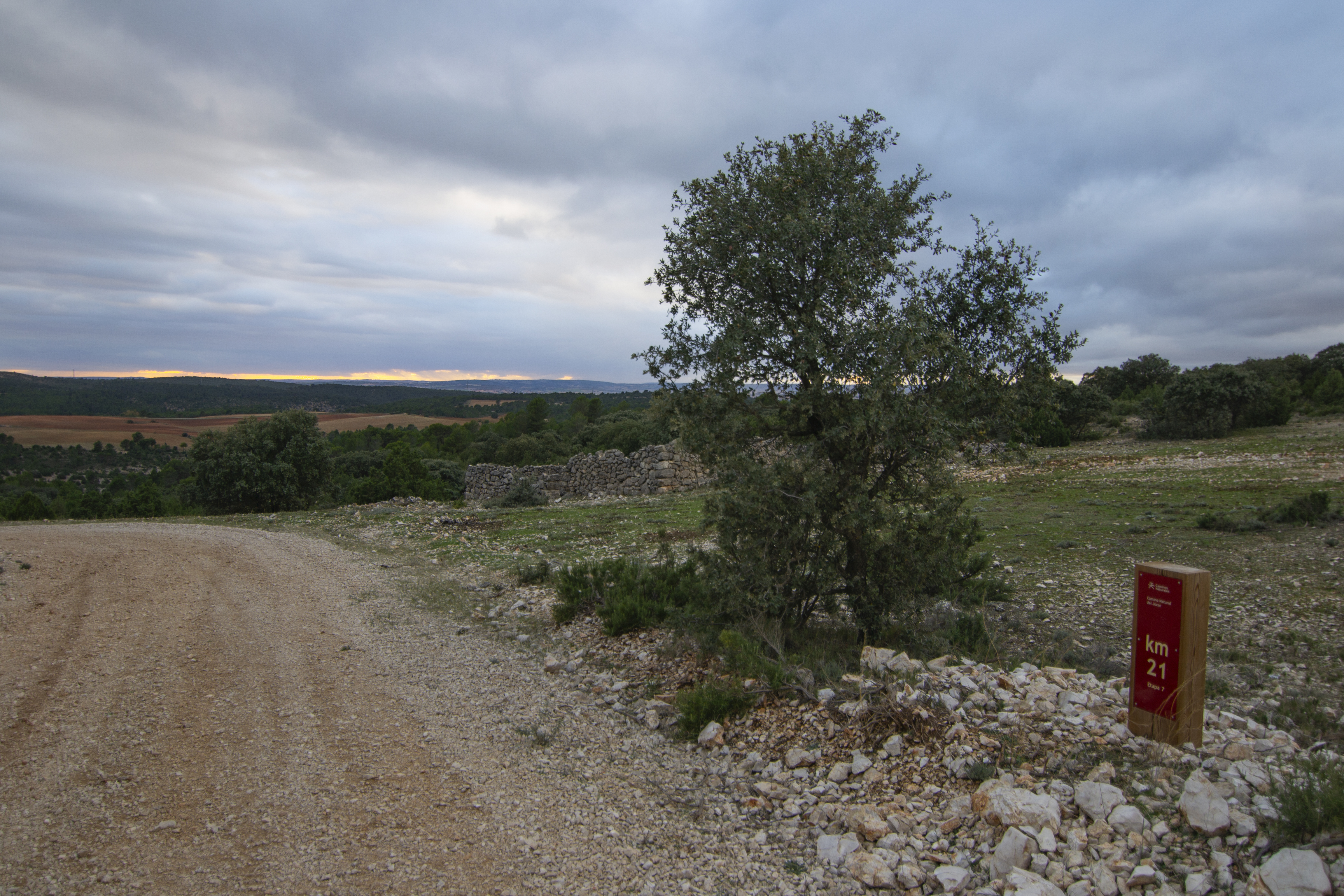
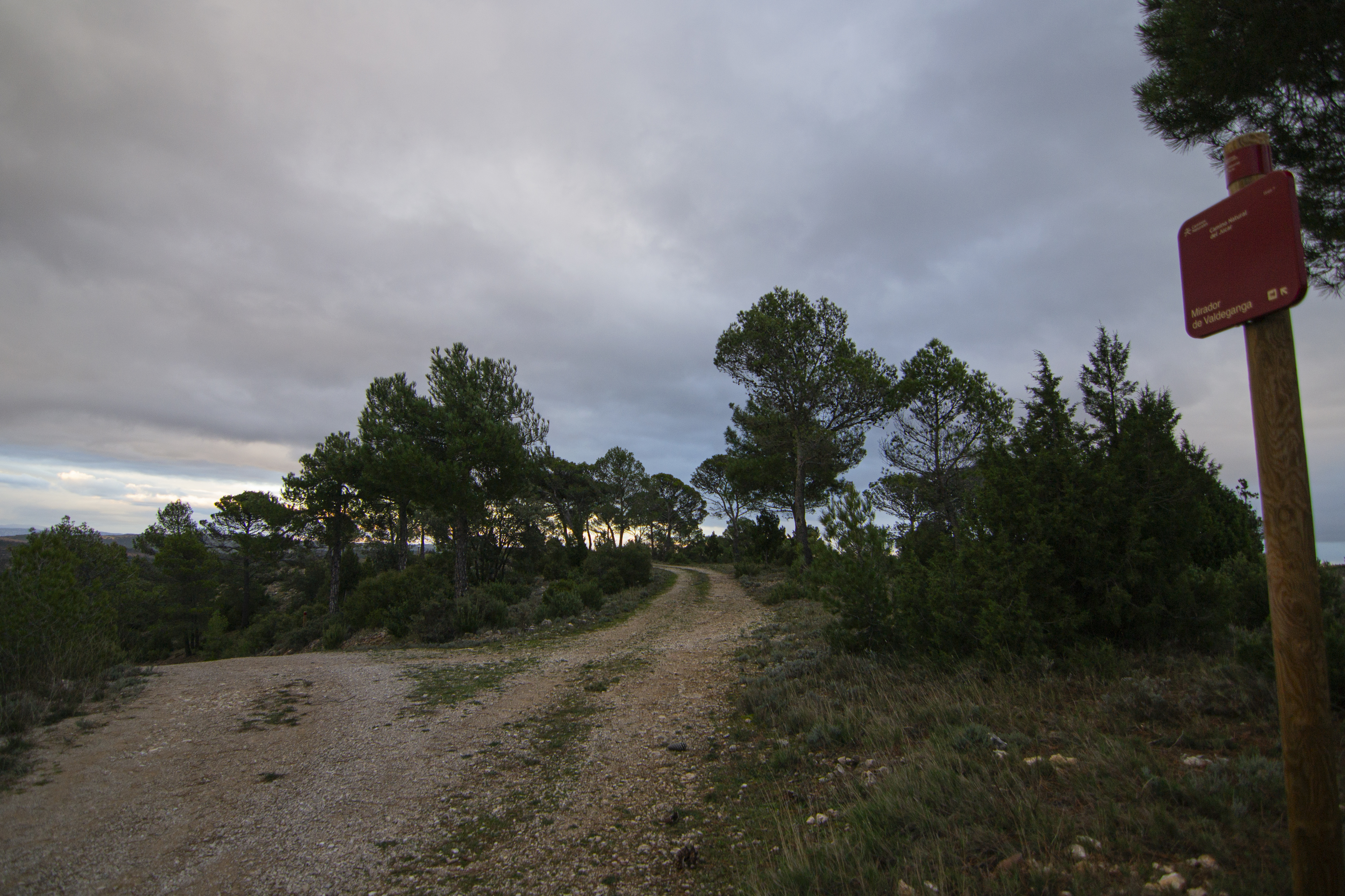
Once again uphill, we continue alongside the olive grove for a few metres before the track once again enters the dominant landscape of this stage, a mixed pine forest accompanied by other trees and Mediterranean scrubland. This new uphill section last 2 km, ending next to the turn-off to the Valdeganga viewpoint. Although it is 100 m from the route, a visit to this viewpoint is almost obligatory. It sits just below a forestry watchtower and a bench and an interpretative panel have been installed to show the magnificent views from this point.
The path descends with little change in the landscape, just the odd peculiarity of passing by the remains of the tinada de los Quemadillos (tinada being the name given in the area to a type of agricultural construction).
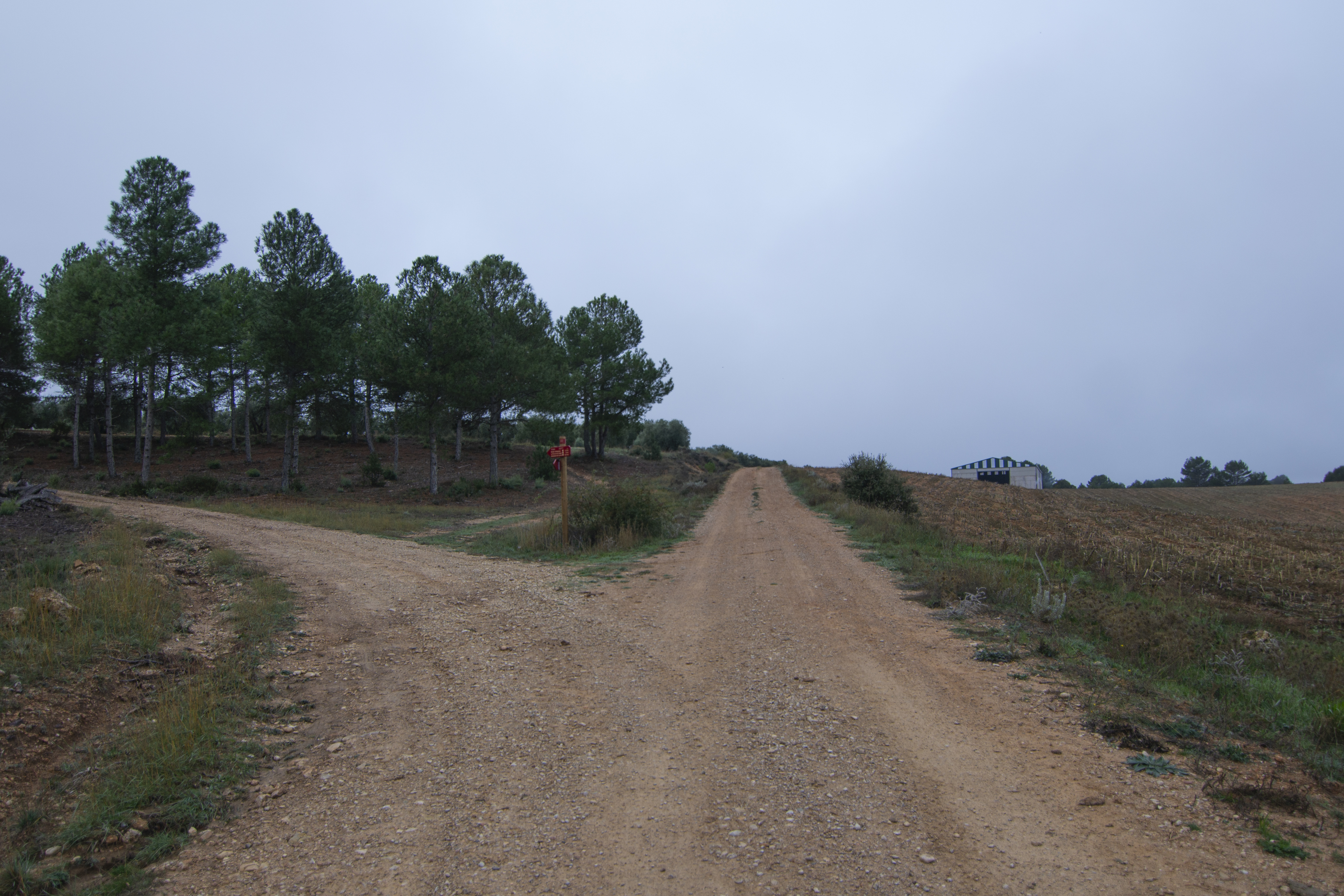
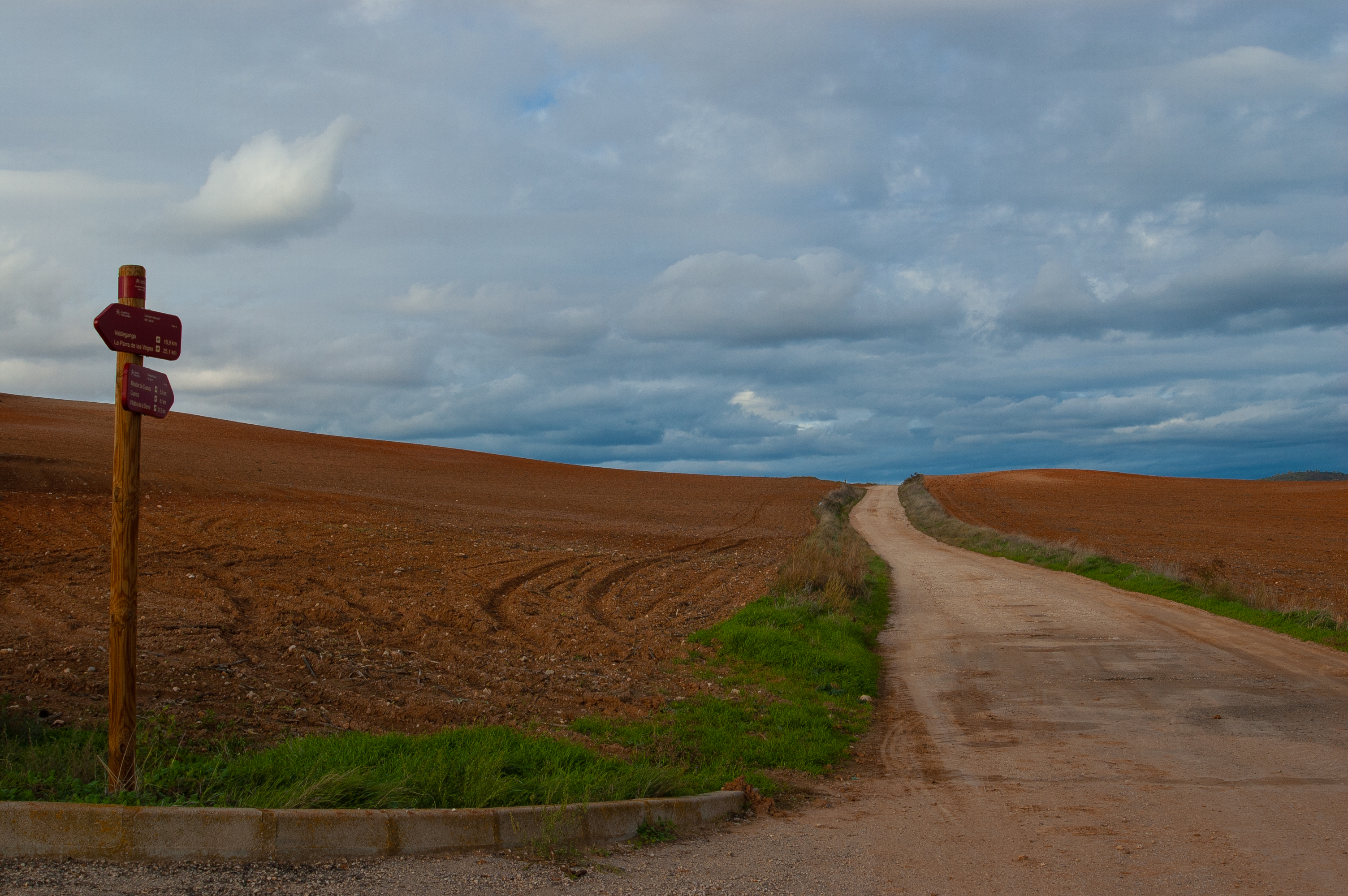
The descent ends after just over 2 km, at the plain on which La Parra de las Vegas sits. Before entering the landscape of crops and pastures that surround the village, the route runs for a kilometre alongside a repopulated pine forest.
The route then turns 90 degrees, heading definitively towards La Parra de las Vegas. Before the end of the stage on the outskirts of the town, lies the simple shrine to San Roque.
Profile
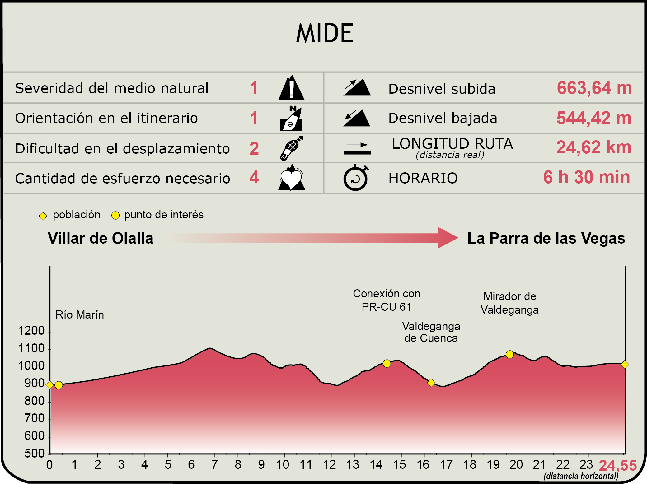
MIDE (Method for the Information of Excursions)
 Harshness of natural environment
- 1. The environment is not risk-free
- 2. There are more than one risk factors
- 3. There are various risk factors
- 4. There are quite a lot of risk factors
- 5. There are many risk factors
 Guidance along the route
- 1. Well defined trails and crossings
- 2. There is a clearly marked trail and signage
- 3. Requires the identification of geographic features and cardinal points
- 4. Requires off-path navigation
- 5. The trail is interrupted by obstacles that have to be gone around
 Route difficulty
- 1. Walking on a flat surface
- 2. Trails with different types of path
- 3. Walking on stepped paths or irregular terrain
- 4. The use of hands or jumping over the terrain is necessary
- 5. The use of hands is required to progress
 Amount of effort needed
- 1. Up to 1 hour of continuous walking
- 2. Between 1 and 3 hours of continuous walking
- 3. Between 3 and 6 hours of continuous walking
- 4. Between 6 and 10 hours of actual walking
- 5. More than 10 hours of continuous walking
Featured
Further information
Valdeganga de Cuenca
The village of Valdeganga de Cuenca is located in the region of the Serranía Media and forms part of the municipality of Valdetórtola, together with the village of Tórtola and the uninhabited village of Olmedilla de Arcas. The placenames of the two localities, as well as many other places in the area, refer to the existence of large populations of birds, such as turtle doves and sand pipers.
The parish church of Valdeganga, dedicated to Santo Domingo de Silos, is the most striking heritage element in the town centre. It consists of a single industrial unit covered with a flat roof made of beams and wooden planks. A triumphal arch leads to the chancel, which is flat and covered with a wooden coffered ceiling. The main doorway, built with ashlar masonry and the keystone feature the laureate coat of arms of Cardinal Gil Carrillo de Albornoz, and the double belfry decorated with pinnacles of balls.
One of the most unique heritage elements of the municipality is the Valdeganga spa, now in ruins. It was very popular with the upper echelons of society in the 19th and 20th centuries until it was abandoned in the late 1960s. Carlos Saura used the spa as a location in his film Peppermint Frappé.
La Parra de las Vegas
La Parra de las Vegas is a small municipality in Cuenca, located in the county of Serranía Media, just 36 kilometres from the capital. According to the pre-Roman settlement found on the Castillejo hill, its origins date back to the Bronze Age.
A visit to the Plaza Mayor is a must, with buildings built between the 16th and 17th centuries, including the church of La Asunción. This large church was built in the mid-16th century and is one of only four in the whole province of Cuenca whose ground plan is divided into two units separated by semicircular arches supported by Doric columns.
Other architectural monuments of interest include the ruins of the Palace of the Counts of Cervera, former owners of the town, and the Town Hall itself, a two-storey 17th century building with its porticoed gallery and upper balcony.
As for the fiestas, the most famous are those held between 13 and 16 August in honour of the patron saint of the village, the Santísimo Cristo de la Salud. Festivities in which the town's iconic fountain goes from supplying water to providing its inhabitants with refreshing wine.
Arcas Lagoon Complex
This area, included in the Natura 2000 Network as a Special Protection Area (SPA), is a lagoon complex made up of more than 35 dolines and uvalas, with permanent and temporary waters.
They originated when the Paleocene chalky loams were dissolved by the action of the groundwater. The dolines are circular in shape, the largest with a diameter of about 70 m, and the uvalas are formed by the union of several dolines, the largest with a diameter of about 190 m.
The fact that these formations develop on gypsum makes them, together with the lagoon complex of the Moscas river in Fuentes, unique examples at a national level and almost unique at a European level.
Apart from the hydrogeological value, the hygrophilous and aquatic plant communities are also important, including the calcareous peat bogs of masiega, the communities of large caraceae and the Mediterranean halophyte meadows, which, due to the fact that they are found on gypsophilous materials, tend to be scarcely represented in the area.
Multimedia


Downloads
GPS Downloads
Cyclability
This Cyclostage corresponds to stage 6 and stage 7 of the Nature Trail
PROFILE

TYPE OF ROADS, PORTAGES & DIFFICULTY
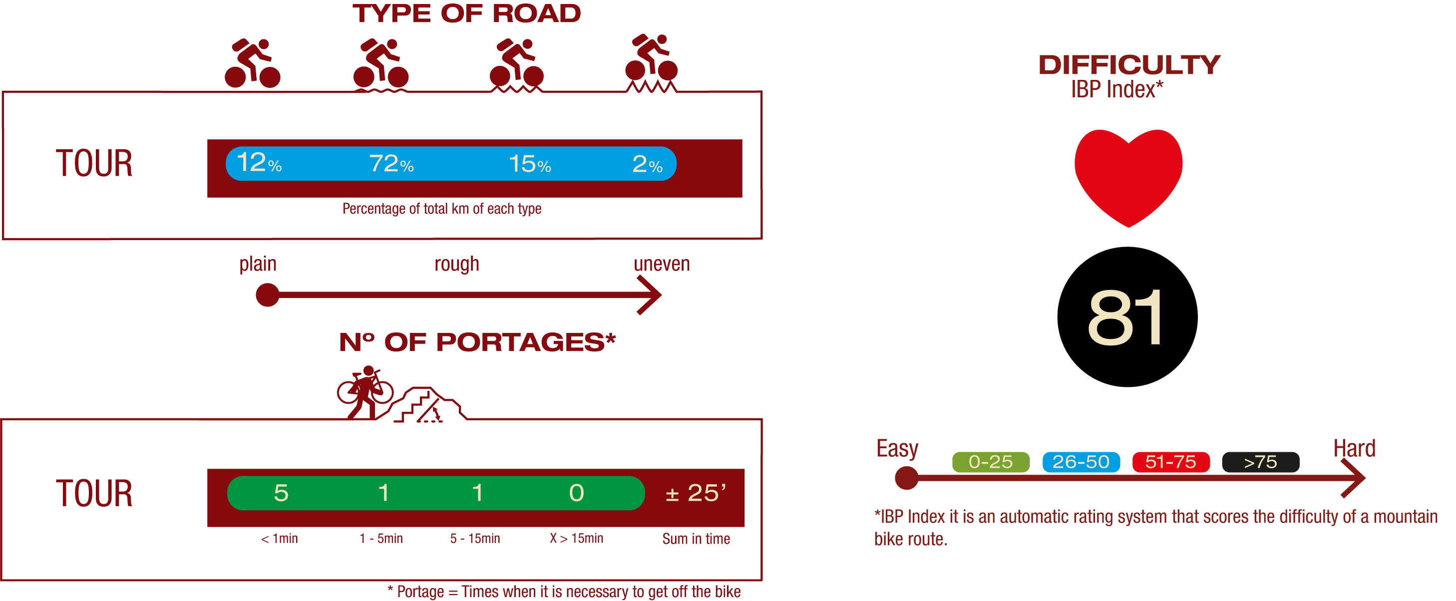
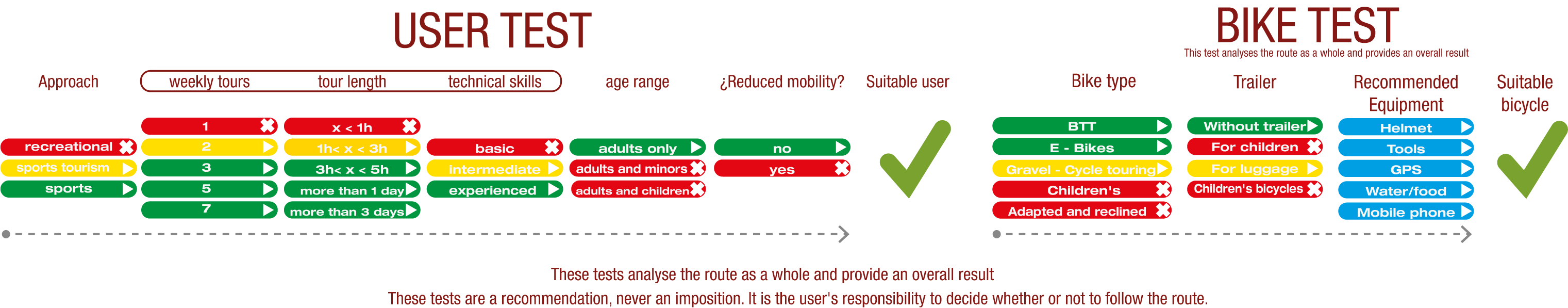
TEST
SAFETY RECOMMENDATIONS
- Mountain bike trails with several stretches of footpaths of different lengths and difficulty.
- Extreme caution should be exercised and all information for cyclists should be read carefully, and the trip should be abandoned if in doubt.
- There are walking section where cyclists must dismount, sections of path, sections with rocky outcrops, sections with loose stony ground, demanding ascents and long descents.
RECOMENDACIONES GENERALES
- Find out about the technical aspects of the route and the weather on the day.
- Take care of the environment. Take care not to disturb animals or damage vegetation. Respect private areas.
- You must give priority to pedestrians and comply with general traffic rules.
- The environment in which you will be riding is open, free to move around and an area where many activities are carried out (sporting, forestry, livestock and agricultural activities). Always have an understanding, prudent, responsible and respectful attitude.